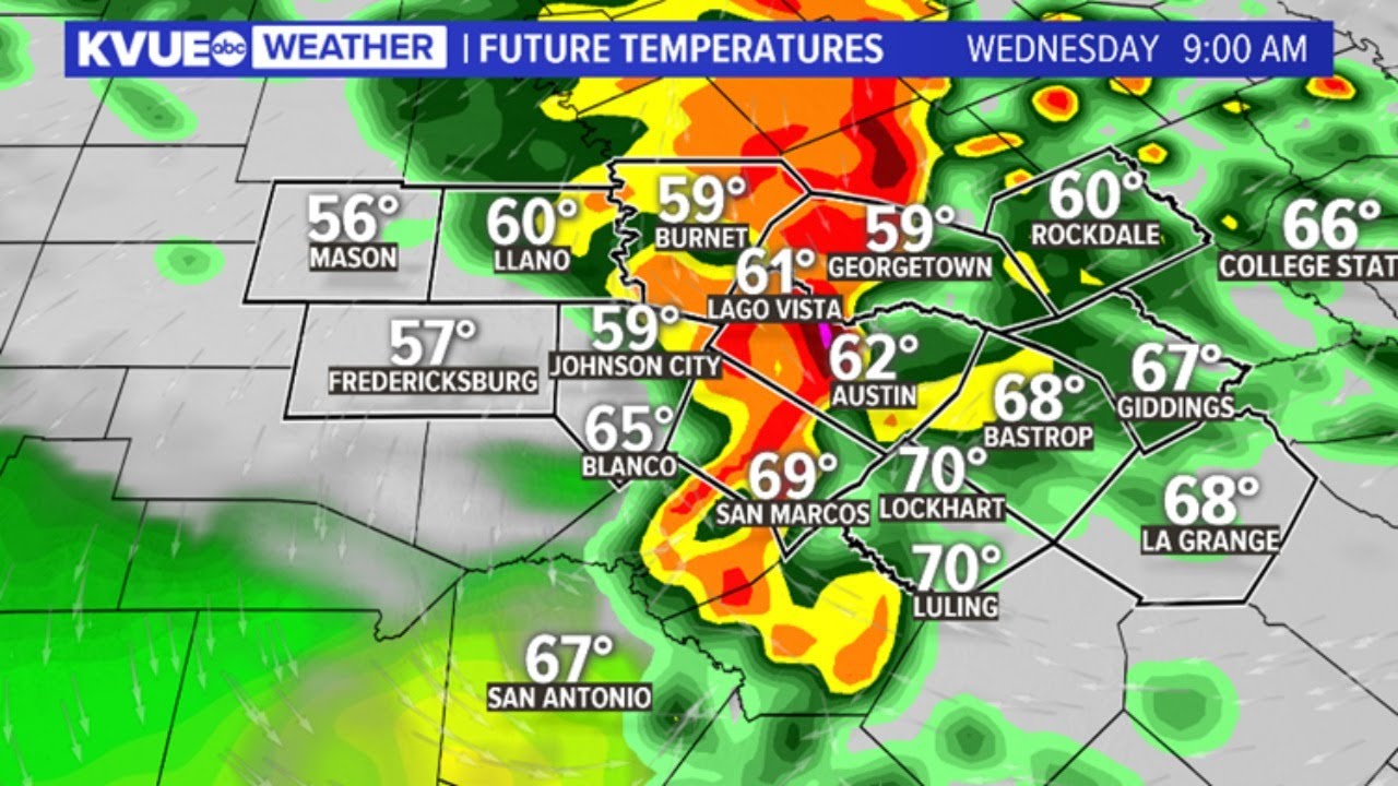
Austin, Texas, experiences a range of weather patterns, from sunny, hot summers to unpredictable storm seasons. In this dynamic environment, the Austin weather radar is a crucial tool for both residents and meteorologists. This advanced radar system helps track precipitation, thunderstorms, tornadoes, and other weather phenomena, allowing people to stay informed and prepared for the conditions ahead. In this article, we’ll explore the functionality of weather radar, its importance in Austin, how it helps local residents, and some tips on interpreting radar data effectively.
How Does Weather Radar Work?
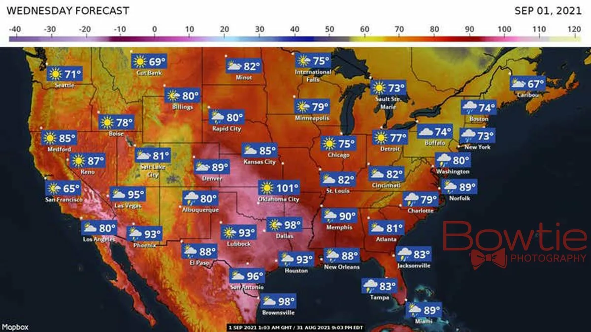
Weather radar systems, also known as Doppler radars, are designed to detect precipitation and storm movement. These radars send out pulses of radio waves that bounce off precipitation particles in the atmosphere—such as rain, snow, and hail. The radar then receives the reflected signals, allowing it to calculate the distance and movement of the precipitation. Doppler radar, in particular, is highly effective for measuring the speed and direction of storms, providing critical data that helps meteorologists issue weather forecasts and warnings.
The radar used in Austin operates on similar principles. It’s part of a network of radars used across the United States, each covering specific areas to ensure seamless monitoring of weather conditions nationwide. In Austin, the radar system is highly effective for tracking storms that can pop up suddenly, especially during the spring and summer months when thunderstorms are more common.
Why is the Austin Weather Radar Important?
Given Austin’s climate, residents rely heavily on accurate and timely weather forecasts. The region often experiences severe thunderstorms, flash flooding, hail, and occasional tornadoes. Texas is also known for its extreme heat, which can be dangerous, especially in urban areas like Austin. Here’s why the Austin weather radar is vital for the city:
- Early Detection of Severe Weather: The radar helps detect storms early, providing ample warning time for residents. This is particularly crucial during tornado season when rapid detection of tornado formation can save lives.
- Flood Monitoring and Warnings: Austin’s location in Central Texas puts it at risk of flash floods, especially during heavy rains. The weather radar plays a key role in tracking storm intensity and movement, helping the city issue timely flood warnings.
- Temperature Monitoring: While radar is primarily used for precipitation, it also works in conjunction with other tools to monitor temperature changes. This is essential during the hot summer months when extreme temperatures can be hazardous.
- Agricultural Benefits: The radar is a helpful tool for Austin’s agricultural community, as it aids farmers in determining the right time for planting and harvesting. Knowing when rain is approaching can help farmers protect crops and plan fieldwork more effectively.
- Enhanced Public Safety: By keeping Austin residents informed about severe weather, the radar helps ensure public safety. Schools, businesses, and public transportation rely on radar data to make decisions during inclement weather, contributing to overall safety in the city.
Understanding Austin’s Weather Patterns
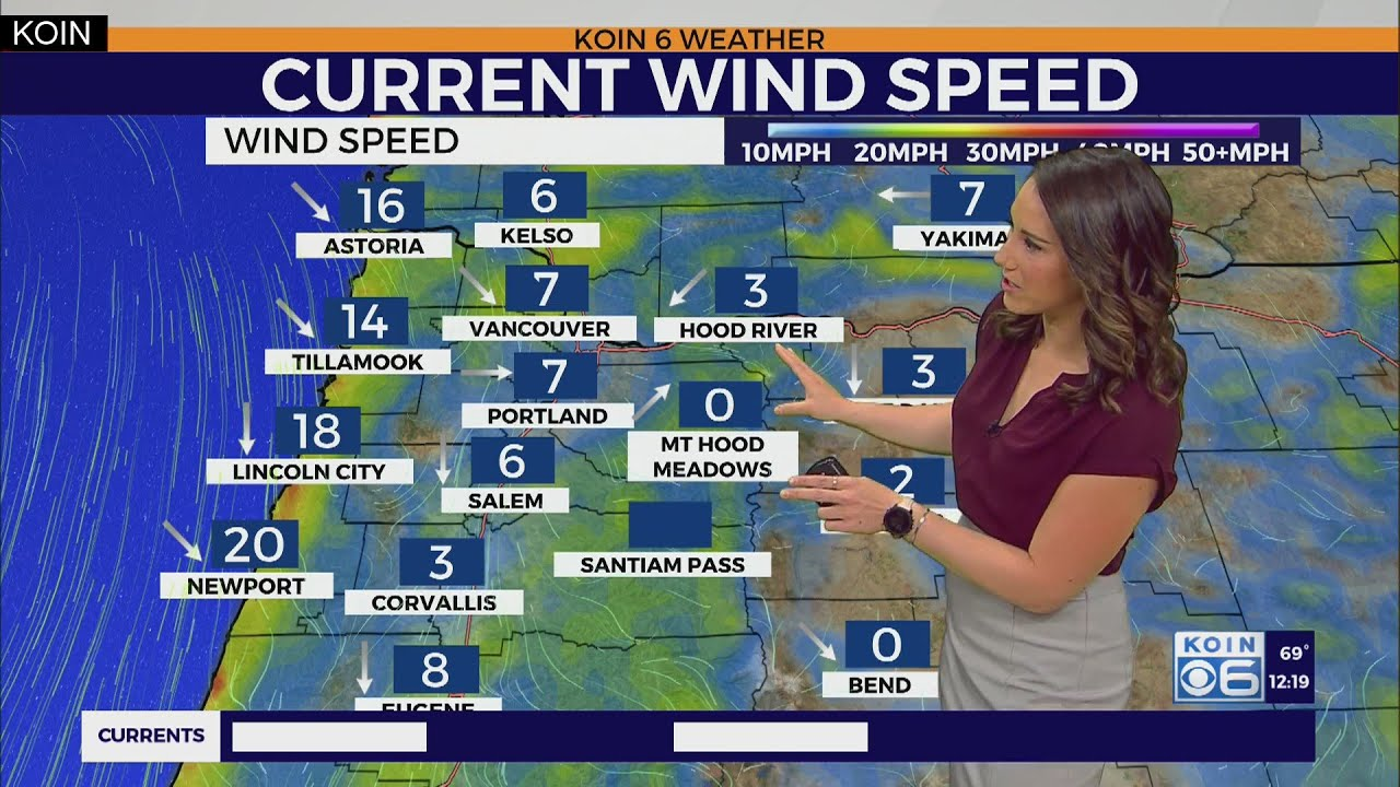
Austin experiences a humid subtropical climate, which brings hot, humid summers and mild winters. Thunderstorms are common, especially from spring through early fall, and the city is also prone to flash floods due to its proximity to rivers and hilly terrain. Additionally, Central Texas occasionally experiences cold fronts in the winter, which can bring sudden drops in temperature and, at times, ice or snow.
In such a varied climate, the Austin weather radar helps predict specific patterns, such as:
- Thunderstorms and Lightning: Spring and summer bring frequent thunderstorms. The radar detects storm intensity, speed, and direction, which is especially useful for predicting lightning and issuing safety alerts.
- Flash Flooding: The Austin radar is instrumental in predicting and monitoring flash floods. With sudden, heavy rain, water levels can rise quickly in creeks and rivers, putting the city at high risk of flooding.
- Heat Waves: During summer, the radar, along with satellite and temperature monitoring systems, helps track heat waves, which can be hazardous for Austin residents. Radar data assists in identifying areas of intense heat and issuing heat advisories.
- Cold Fronts: Austin’s winters are generally mild, but cold fronts do sweep in occasionally. The radar helps monitor these changes, allowing the city to prepare for colder conditions.
How to Read Austin Weather Radar Maps
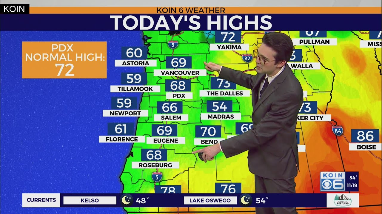
For those who want to monitor the weather themselves, Austin weather radar maps are available through websites and apps provided by local news channels and the National Weather Service. Understanding how to read these maps can help residents stay updated on approaching weather. Here are some basic tips:
- Colours Represent Intensity: Most radar maps use a colour-coded system to represent the intensity of precipitation. Light green often indicates light rain, while darker shades of green, yellow, and red show progressively heavier rain. Purple or pink shades may indicate hail or severe storm activity.
- Movement and Direction: Radar maps show precipitation movement, which can help you understand where a storm is headed. Watching the direction of movement can give you an idea of whether the storm is likely to hit your area or move away.
- Special Symbols: Some radar maps include symbols for specific weather conditions, like snowflakes for snow or lightning bolts for thunderstorms. In Austin, you’re more likely to see symbols for heavy rain, thunderstorms, and lightning, especially during spring and summer.
- Severe Weather Warnings: When severe weather is detected, radar maps will often include overlays for warnings, such as tornado, flood, or thunderstorm warnings. Paying attention to these alerts can help you prepare for potential hazards.
- Looping Radar Animations: Many radar maps offer looping animations that show the past hour or two of radar data. Watching these loops can help you better understand the speed and direction of an approaching storm.
Weather Radar Apps and Websites for Austin
Austin residents have access to numerous tools for monitoring weather radar. Here are some of the best options:
- National Weather Service (NWS): The NWS provides reliable radar data on its website, including animations and detailed storm information. The NWS radar is updated frequently, making it an excellent choice for real-time monitoring.
- Weather Apps: Many weather apps, such as The Weather Channel, AccuWeather, and Weather Underground, offer radar maps for Austin. These apps are convenient for quick updates and can send notifications for severe weather alerts.
- Local News Channels: Austin’s local news stations, like KXAN and KVUE, have websites and apps with radar maps and weather forecasts specifically tailored to the Austin area. These platforms often include local insights and forecasts that national sources may not cover.
- Texas Department of Transportation (TxDOT): TxDOT offers radar and road condition information, which is particularly useful for those travelling during bad weather. Checking road conditions alongside radar data can help drivers plan safer routes during storms.
Preparing for Severe Weather in Austin
For Austin residents, preparing for severe weather means more than just staying informed. Here are some additional safety tips:
- Sign Up for Weather Alerts: Many weather apps allow you to sign up for notifications, which can alert you to severe weather near your location.
- Create a Family Emergency Plan: Having an emergency plan in place can help you and your family respond quickly to sudden weather changes, like flash floods or thunderstorms.
- Assemble an Emergency Kit: Keep essentials like water, food, batteries, and a flashlight in case of power outages.
- Stay Indoors During Severe Weather: Thunderstorms, especially those with lightning or hail, can be dangerous. If a storm is approaching, stay indoors and away from windows.
- Use the Radar as Part of Your Routine: Checking the radar before heading out, especially during storm season, can help you stay safe and prepared.
Conclusion
The Austin weather radar is more than just a tool—it’s a lifeline for residents of Central Texas. By providing up-to-date information on precipitation, storm intensity, and severe weather conditions, the radar allows Austinites to plan their activities, avoid potential hazards, and prepare for rapidly changing conditions. Understanding and utilising weather radar is crucial, particularly in a region with such dynamic and sometimes unpredictable weather. Whether you’re a resident, a business owner, or just visiting, being informed about Austin’s weather patterns is essential for staying safe and making the most of your time in this vibrant city.


